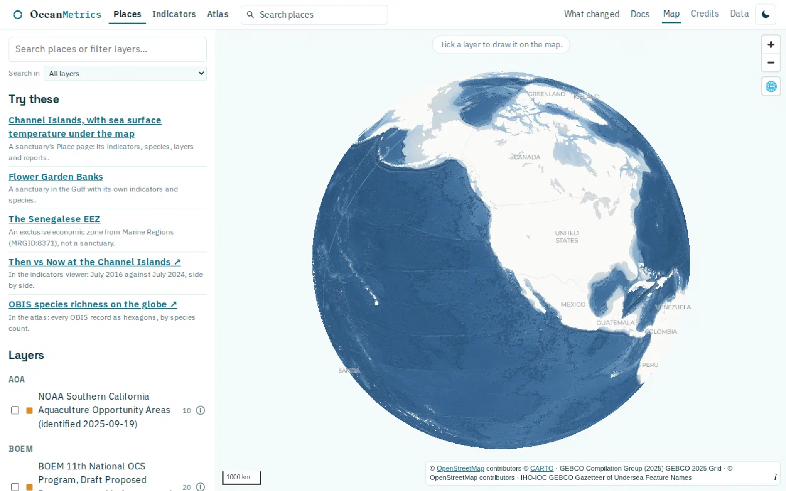
The gazetteer collects the boundary layers that ocean analyses keep needing, normalizes them into GeoParquet and PMTiles with a stable place_id per feature, and publishes them as a STAC catalog that the Atlas, ERDDAP Places and OBIS Hex all share.
The gazetteer collects the boundary layers that ocean analyses keep needing, normalizes them into GeoParquet and PMTiles with a stable place_id per feature, and publishes them as a STAC catalog that the Atlas, ERDDAP Places and OBIS Hex all share.