A BOEM-sponsored atlas mapping where offshore energy development meets vulnerable marine life across the U.S. Outer Continental Shelf.
Offshore wind, oil, and gas decisions on the U.S. Outer Continental Shelf all turn on the same question: where does energy development overlap the most vulnerable marine life? The Marine Sensitivity toolkit answers it with data.
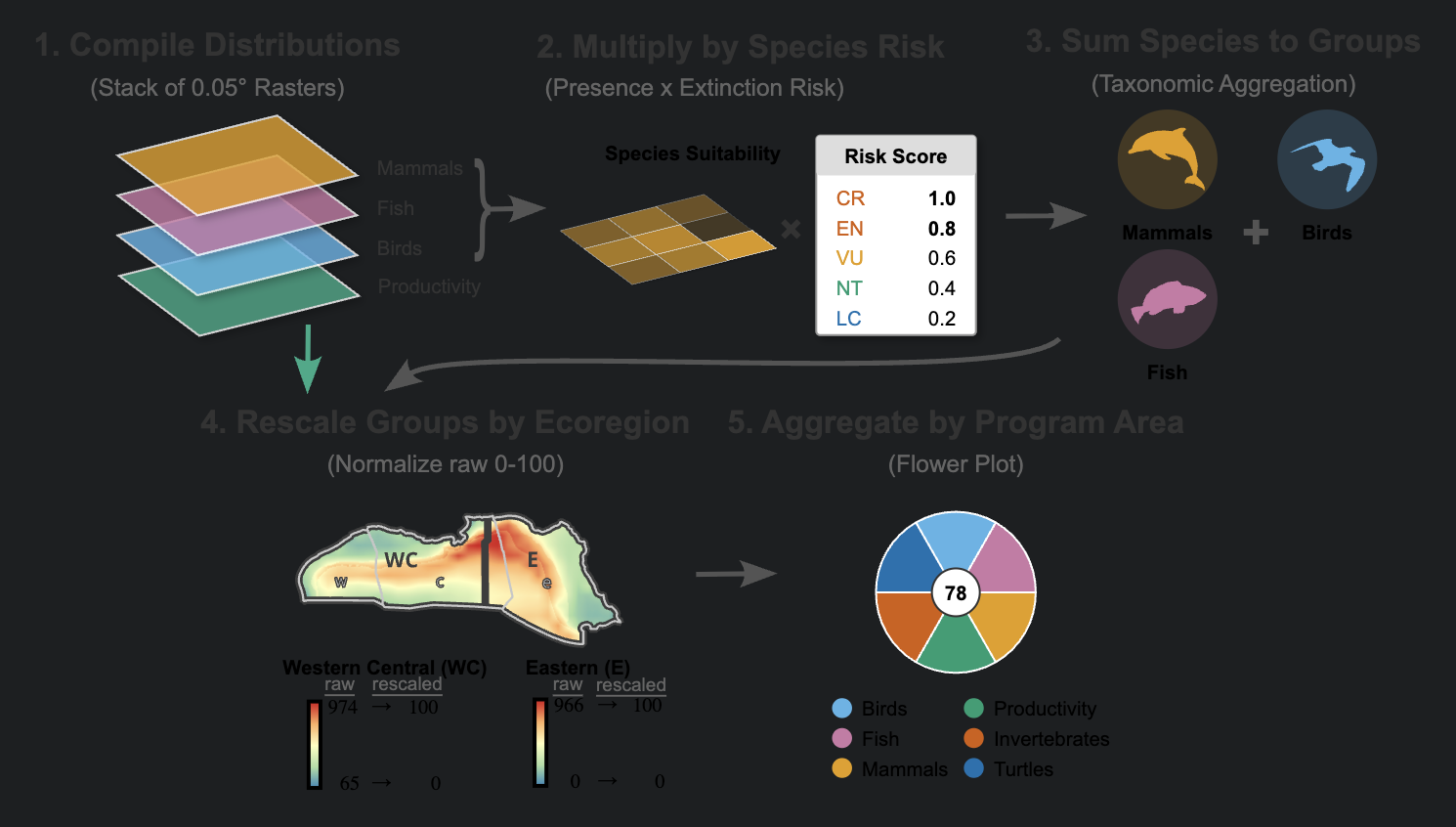
Sponsored by the Bureau of Ocean Energy Management (BOEM), the project fuses species distribution models, extinction-risk scores, and federal conservation status for more than 16,000 marine species — fish, marine mammals, seabirds, sea turtles, corals, and invertebrates — into composite sensitivity surfaces across the twenty BOEM planning areas.
Those surfaces are delivered as interactive Mapbox globe apps, an open STAC + partitioned-Parquet data release on S3, and reproducible R and Quarto workflows — so leasing decisions and environmental reviews rest on evidence anyone can inspect and rerun.