Measuring the ocean, from raw observations to decisions
I build the species models, interactive maps, and open-data platforms that ocean science relies on — rigorous, reproducible work for agencies and research programs.
Ocean data platforms in production
All projects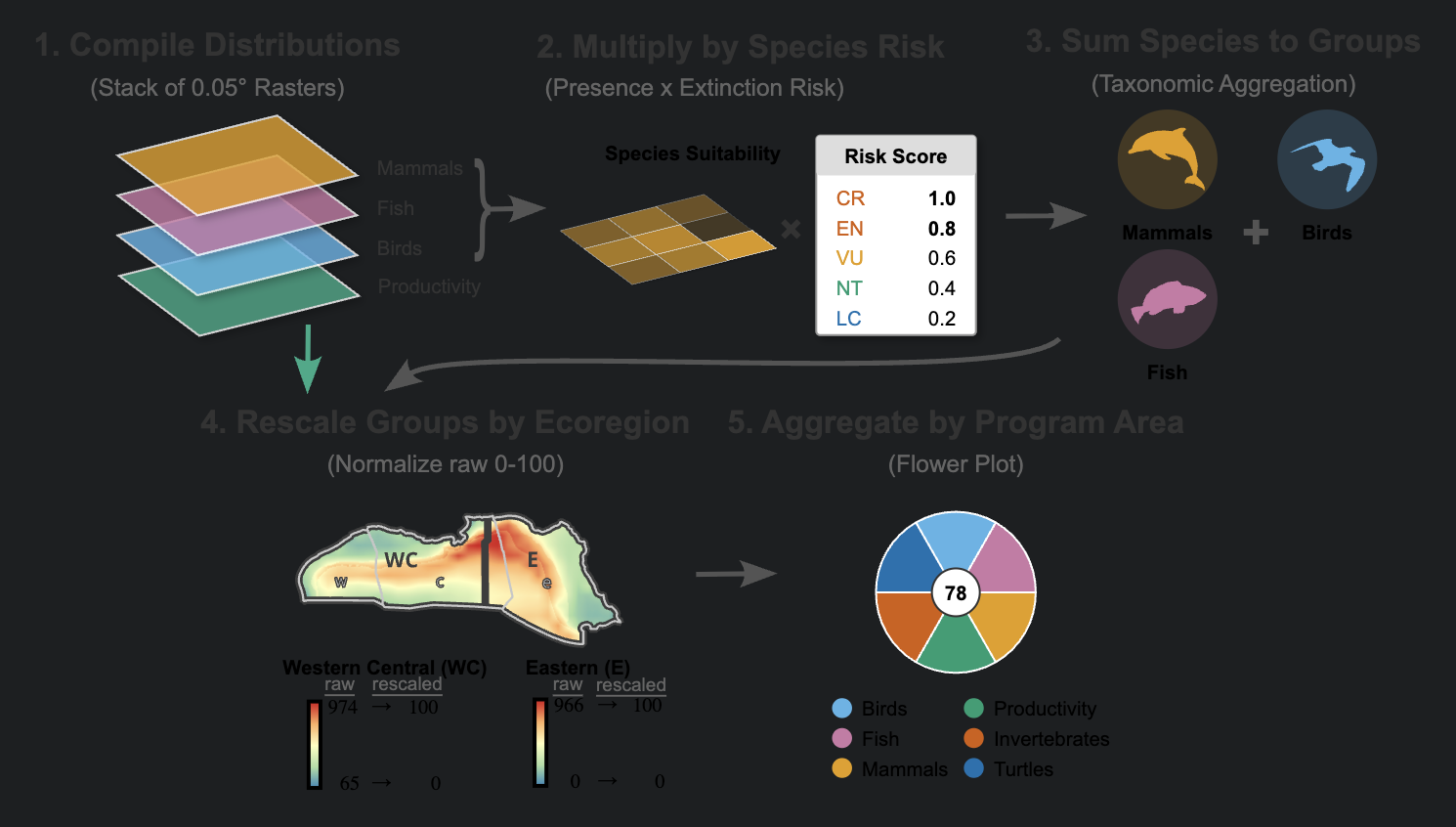 BOEM
BOEMMarine Sensitivity
A BOEM-sponsored atlas mapping where offshore energy development meets vulnerable marine life across the U.S. Outer Continental Shelf.
 CalCOFI · Scripps
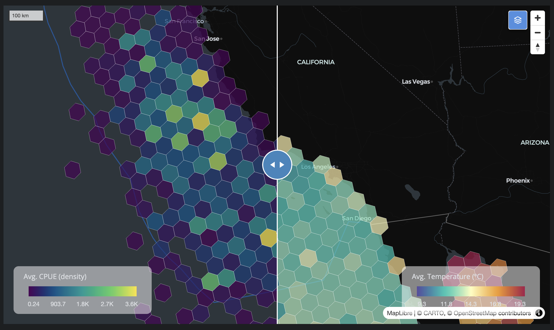
CalCOFI.io
From ship to screen — turning 75+ years of California Current ocean data into open apps, an API, and a versioned database.
 US MBON
Marine BON
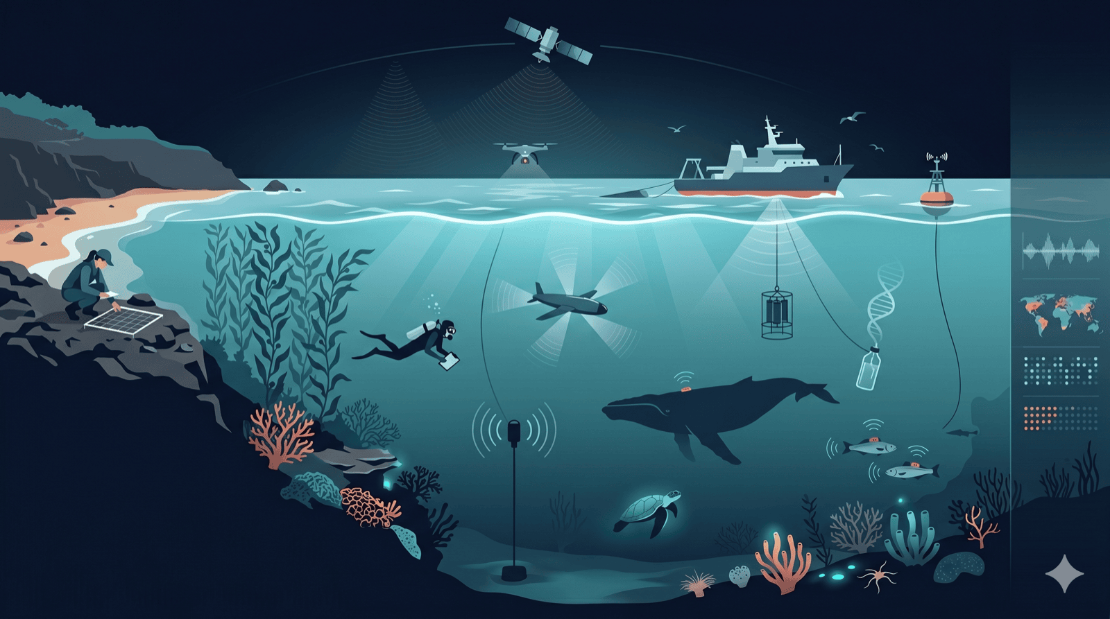
A network hub for the U.S. Marine Biodiversity Observation Network — connecting regional observing nodes, tools, datasets, and methods.
From raw observations to decisions
Analyze
Reproducible science in R and Python — species distribution models, spatial statistics, and data pipelines that others can rerun and trust.
Develop
Interactive maps, dashboards, and open-data platforms — Shiny, Quarto, and web apps backed by APIs, spatial databases, and cloud tiling.
Train
Certified Software & Data Carpentry instruction — reproducible research, spatial analysis, and the tooling to make a team self-sufficient.
A one-person ocean-data studio
Ocean Metrics is the practice of Ben Best, PhD — a marine data scientist building the analyses, maps, and software behind federal and research ocean programs. Formerly EcoQuants, now measuring the ocean with the same principle: rigorous work that embraces uncertainty.
More about Ocean MetricsWork delivered for




Have an ocean-data problem worth measuring?
Whether it's a species model, a data platform, or a map that needs to hold up to scientific scrutiny — let's talk.
Start a conversation